We're all pilgrims on the same journey-but some pilgrims have better road maps". - Nelson Demille
Coastal Program Funded Mapping Projects
- Minnesota's Lake Superior Beach Monitoring Program View local beach advisories.
- LakeSuperiorStreams.org provides real time stream data for communities, citizens, and students.
Download our program boundary in Google Earth kml format. Requires Google Earth (free)
Download shapefiles of our program boundary for use in GIS programs.
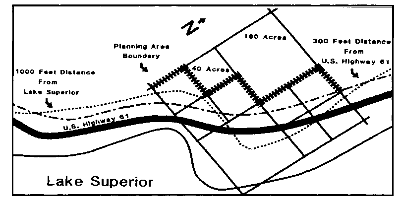
Maps featured in our Final Environmental Impact Statement
- Lake Superior Watershed Coastal Program Boundary
- St. Louis and Carlton Counties Coastal Boundary
- Lake County Coastal Boundary
- Cook County Coastal Boundary
- Subwatersheds of Minnesota's Lake Superior Basin
- Minnesota's Arrowhead Region
- North Shore Management Plan Boundary
- Recreation and Historical Sites Within the Coastal Area
- Adjacent States & Provinces
Minnesota GIS and Map Resources
- Minnesota Geospatial Commons is a collaborative place for users and publishers of geospatial resources in Minnesota.
- Minnesota's Geospatial Information Office (MnGeo)
- The Minnesota DNR's Map Page provides links to interactive maps, pdf maps, and GIS data downloads.
- Watershed Health Assessment Framework provides a comprehensive view of the ecological health of Minnesota's watersheds.
National Data and Map Resources
- Digital Coast provides access to data, tools, training and information needed by coastal resource management professionals.
- NRCS Soil Survey provides access to the USDA NRCS soil data online, and data downloads.
- StreamStats - Minnesota is a web based GIS providing analytical tools useful in water resource planning.
- Data.gov geospatial data resources portal.